

Blaine County
The rural north of the GTA 5 map: desert towns, the Alamo Sea, farmland, forests, a military base and Mount Chiliad.
Key facts
- Area
- Blaine County
- Type
- Region
- Highest point
- Mount Chiliad
- Main towns
- Sandy Shores, Paleto Bay, Grapeseed
- Neighbor
- Los Santos to the south
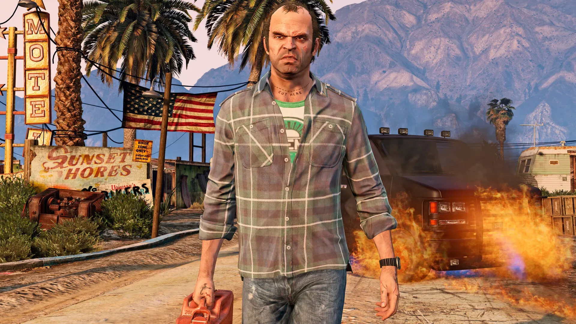
Blaine County is the countryside that fills the northern part of the GTA 5 map, beyond the hills that ring Los Santos. Before launch Rockstar told Game Informer, as Kotaku reported, that the world would include wilderness, a military base and an ocean floor you can explore, and much of that sits up here.
What’s there
Rockstar’s 2013 travelogue for the game sold Blaine County as the place for the great outdoors: hunting, hiking to the top of Mount Chiliad, parachuting from a hired plane and taking an SUV off road. It also mentioned rural mobile trailers as one of the housing options, and a tourism commercial called My Blaine County.
The Guardian’s tour of the map covers several Blaine County spots:
- The Grand Senora Desert, home to Sandy Shores and the Alamo Sea
- The forests of the Chiliad Mountain State Wilderness
- Paleto Bay, a small town on the north coast
- Raton Canyon, the gorge that runs from the Alamo Sea to the Pacific, near the Fort Zancudo military base
- The El Gordo Lighthouse on the east coast, near the farming town of Grapeseed
Other landmarks in this guide include Mount Gordo and the Humane Labs research site.
Story missions
Several story missions use the Sandy Shores airfield as a base, including Surveying the Score, Monkey Business and Bury the Hatchet. Paleto Score Setup and The Paleto Score take the crew to the bank in Paleto Bay.
Videos
 Age restricted by YouTubeYouTube only plays this video on its own site. Tap to watch it there.
Updated